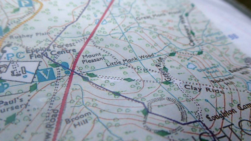
Ordnance Survey Mapping & Data
Ordnance Survey Mapping and Data give the latest available survey information.
We can provide you with site-centred pdf paper copies at various scales, or Data files in dxf or dwg format.
We can send you a screenshot to ensure the map covers the area you require. Order by email or telephone or in the shop.
OS Plan
On Paper
1:500 scale 80m by 80m of ground coverage printed on A4 paper.
1:1250 scale 200 m by 200 m of ground coverage printed on A4 paper.
1:2500 scale 400 m by 400 m of ground coverage printed on A4 paper.
For planning permission for home extensions or small building projects.
Insurance claims, Conveyancing, Property location plans, Presentations and reports.
As Data
Your map may be sent in digital form as a TIFF file, so that you can customise your map by overlaying other information or highlighting areas in colour.
Desktop Mapping
Desktop mapping is the ideal solution for customers who want to organise maps and data in their own time and at their own premises. Once configured you can access the Ordnance Survey Mapping and Data Centre database and purchase maps through your desktop.
1:10,000
On Paper
1:10,000 scale digital colour mapping.
Large scale, site-centred map, useful for project planning, site location, planning applications, conveyancing, surveying, construction, land and estate management, environment and conservation, mapping for IACS, including area measurement reports.
As Data
Digital mapping you can control using CAD systems, you can customise your large-scale site-centred map. Useful for Project planning and design, site maps, feasibility studies, planning applications, location mapping, illustrating presentations and reports.
Aerial Photography
A Bird’s-eye view of your chosen location, showing buildings, boundaries, water features and vegetation, giving you a real picture of the landscape. Useful for project planning and analysis, land and estate management, reference and educational resources, boardroom presentation, gifts.
Historical Mapping
Huge archive of 1.5 million maps showing dramatic changes over last 150 years.
Useful for legal, historical or archaeological research, land and estate management, project planning, presentations, genealogy, reference and educational resources, display and gifts.